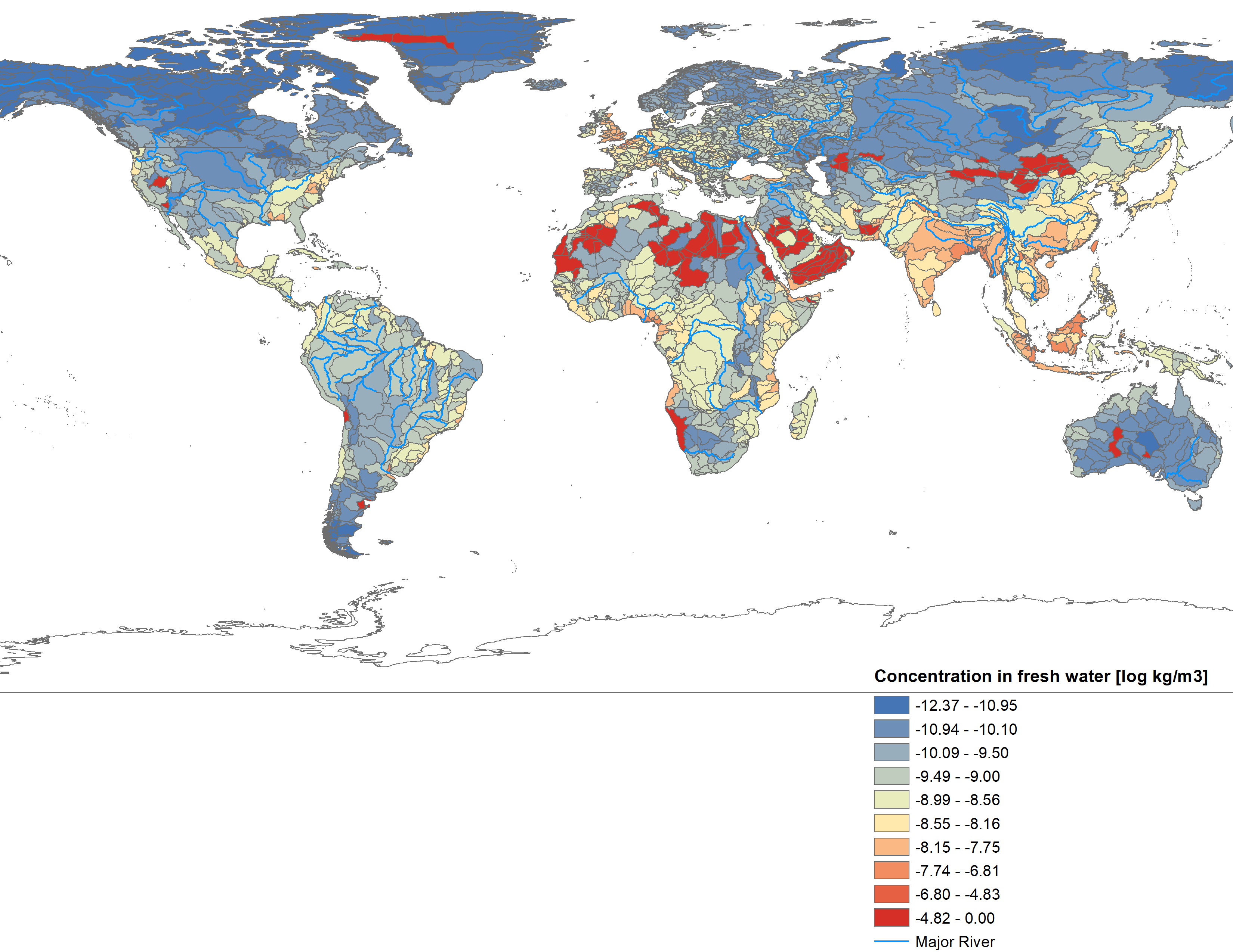
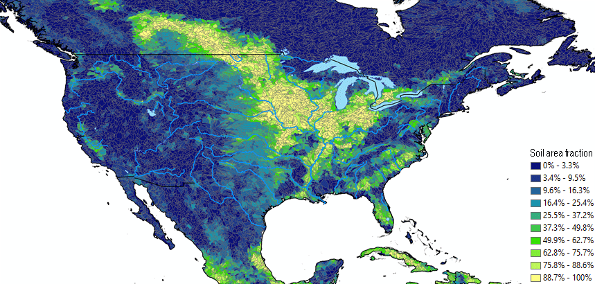
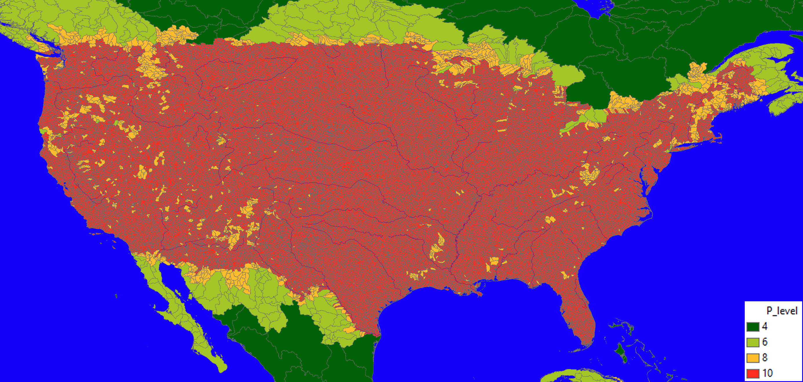
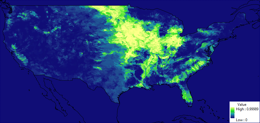
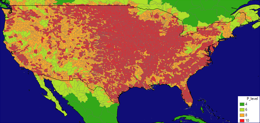
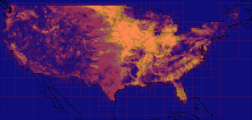
The original resolution of the terrestrial grid (based on the global HydroBASINS catchment dataset) can be refined based on a combination of different aspects. In the case of the herbicide atrazine applied directly to agricultural soil in, for example, the United States (U.S.), we have choses for illustrative purposes a combination of soil area fraction per catchment and national boundary of the continental U.S.
Please find further information about the Pangea model at http://pangea-model.org. Pangea was developed at the University of Michigan with contributions from Dr. Cedric Wannaz and Prof. Olivier Jolliet.

